Menu
What Is a Wheater Radar?
So, what exactly is weather radar?
Think of it as your eyes in the sky, but instead of being limited to what you can see with your eyes,
weather radar allows you to spot approaching storms and severe weather, giving you the chance to take necessary precautions before getting caught in any dangerous conditions.
This page will introduce you to the basics of weather radar and answer any questions you might have about it.
How Does a Weather Radar Work?
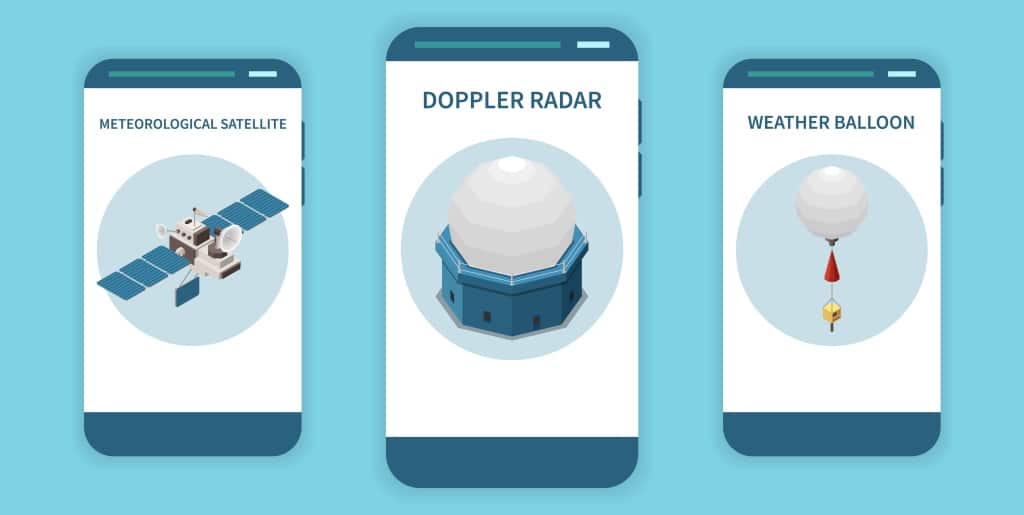
Weather radar works by sending pulses of microwaves up into a cloud.
Each pulse bounces off of particles inside a cloud and returns down to earth, where an antenna picks up on them and relays them back to a radar station.
Some weather radars contain more than one antenna that can track multiple areas at once.
Microwaves are very similar to radio waves, which you may be familiar with if you’ve ever listened to music through an FM receiver or used remote control.
Microwaves are a sub-class of the better-known radio waves. The difference lies in their frequencies. Radio waves take frequencies of 300 GHz to 3 kHz. Microwaves have a defined range of 300 GHz to just 300 Mhz.
How Do I Use It?
There are two ways to use weather radar.
The first way to utilize it is on a small scale. If you’re out camping, hiking, or any outdoor activity that could put you in contact with dangerous weather patterns and natural disasters, weather radar can help you stay informed about oncoming storms.
By using Weather Radar apps like on Radar24.net, users are able to track severe thunderstorms, hurricanes, typhoons and other extreme weather events. This will enable them to get to safety before they become trapped by bad weather conditions.
The second way people use rain radars is for tracking severe thunderstorms for hobbyists or for those who simply want to observe how nature works through television images from tower-mounted cameras that show radar returns of precipitation.

What Is So Special About a Weather Radar?
You see that big red circle on TV while a storm or tornado warning has been issued. The numbers appear every so often, along with spinning arrows.
But what exactly are you looking at?
And what makes it special in comparison to other types of radar used by meteorologists today?
This page shows you real-time weather data that should be taken seriously when storms threaten your area.
Stay Updated on Dangerous Storms
Storms can be scary and destructive, but they’re also fascinating to watch. The kind of data you need in order to get a better sense of storms—and what they’re capable of—isn’t always available on TV or online.
That’s where weather radar comes in handy.
Know Where the Weather is Going
We’ve all been there:
You wake up on a lazy Sunday, sleepily open your eyes, and then fling yourself out of bed to turn on some music or catch up on that show you missed last night.
But when you get up, it looks like a snowstorm just rolled in from nowhere and everything outside is white.
How did it come so fast?! Where did that storm even come from?
There are a lot of reasons why weather changes so suddenly (and dramatically).
And to help you stay informed, Radar24.net gives you all information you need to stay ahead of the ongoing weather!